Maps of McFarlane Lake
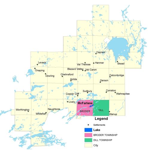
Township Map
McFarlane Lake is located in Broder and Dill townships.
UTM Coordinates:
Easting 502959, Northing 5140549
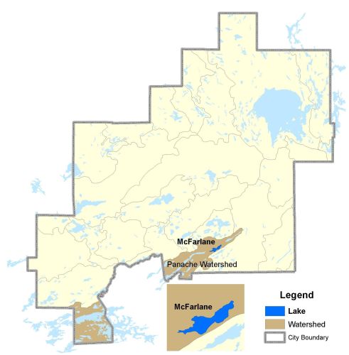
Watershed Map
McFarlane Lake is located in the Panache Watershed.
For more information on the watershed, and on the data obtained for this lake, please click on the following link: Watershed Map
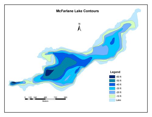
Bathymetric Map
McFarlane Lake is 166.1 hectares in size with a shoreline perimeter of 9.6 kilometers. The maximum depth of McFarlane Lake is 18 meters (60 feet).