Maps of McCharles Lake
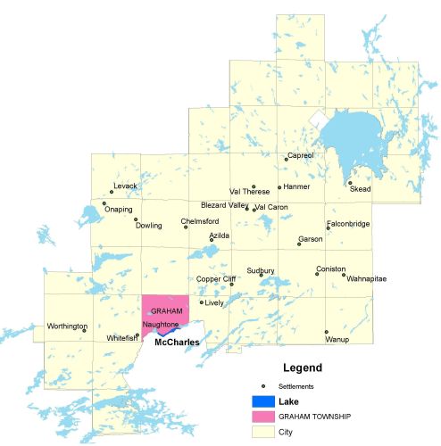
Township Map
McCharles lake is located in Graham township.
UTM Coordinates:
Easting 481957, Northing 5136841
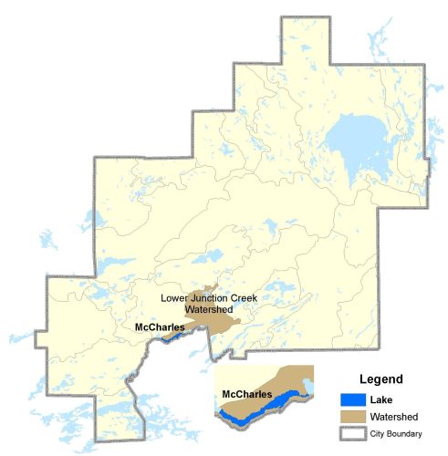
Watershed Map
McCharles Lake is located in the Lower Junction Creek Watershed. For more information on the watershed, and on the data obtained for this lake, please click on the following link: Watershed Map
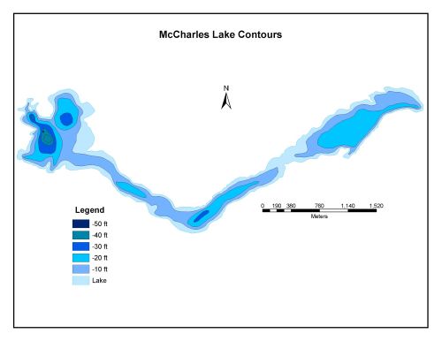
Bathymetric Map
McCharles Lake is 150.1 hectares in size with a shoreline perimeter of 12.7 kilometers. The maximum depth of McCharles Lake is 15 meters (50 feet).