Maps of Makada Lake
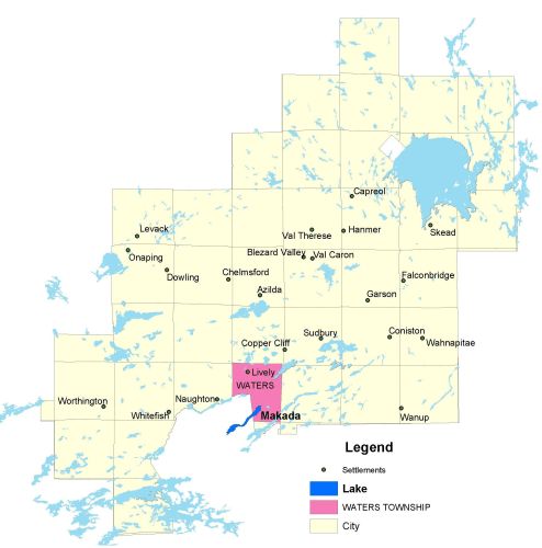
Township Map
Makada (Black) Lake is located in Waters Township.
UTM Coordinates:
Easting 488493, Northing 5134886
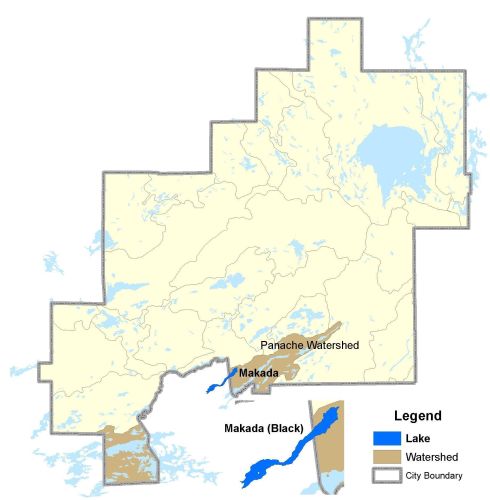
Watershed Map
Makada Lake is located in the Panache Watershed. For more information on the watershed, and on the data obtained for this lake, please click on the following link: Watershed Map
Bathymetric Map
Makada Lake is 353.8 hectares in size with a shoreline perimeter of 19.8 kilometers. Map not available.