Maps of Linton Lake
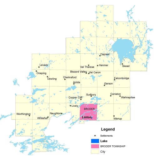
Township Map
Linton Lake is located in Broder township.
UTM Coordinates:
Easting 501146, Northing 5135723
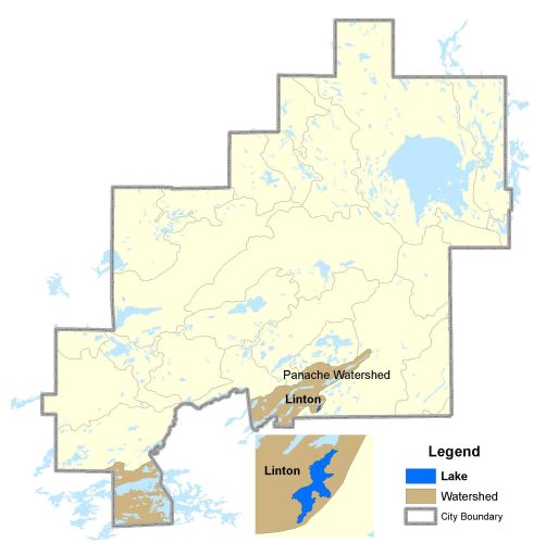
Watershed Map
Linton Lake is located in the East Wanapitei River Watershed. For more information on the watershed, and on the data obtained for this lake, please click on the following link: Watershed Map
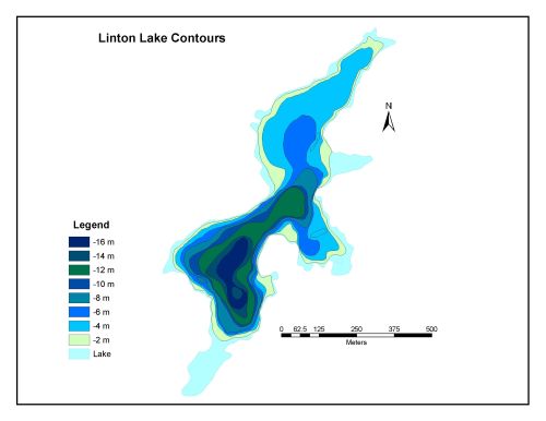
Bathymetric Map
Linton Lake is 27.7 hectares in size with a shoreline perimeter of 4.7 kilometers. The maximum depth of Linton Lake is 16 meters.