Maps of Hannah Lake
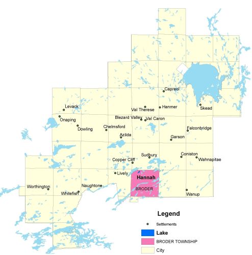
Township Map
Hannah Lake is located in Broder township.
UTM Coordinates:
Easting 497012, Northing 5143279
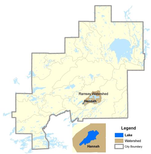
Watershed Map
Hannah Lake is located in the Ramsey Watershed. The drainage basin has an area of 76ha. Hannah Lake is a headwater lake that has been used as an environmental ecological monitoring lake specifically for air quality (smelter emissions reductions) in the area. For more informationcontact the Co-operative Freshwater Ecology Unit.
For more information on the watershed, and on the data obtained for this lake, please click on the following link: Watershed Map
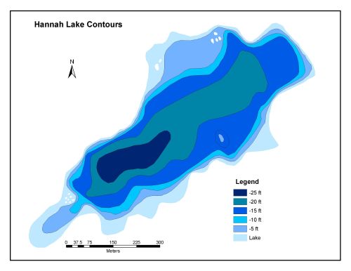
Bathymetric Map
Hannah Lake is 27.7 hectares in size with a shoreline perimeter of 2.8 kilometers. The maximum depth of Hannah Lake is 8 meters (25 feet).