Maps of Crooked Lake
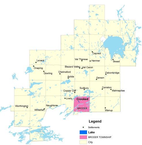
Township Map
Crooked lake is located in Broder township.
UTM Coordinates:
Easting 497250, Northing 5140885
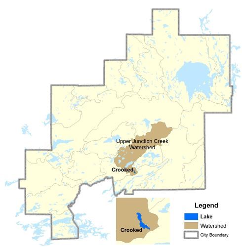
Watershed Map
Crooked Lake is located in the Upper Junction Creek Watershed.
For more information on the watershed, and on the data obtained for this lake, please click on the following link: Watershed Map
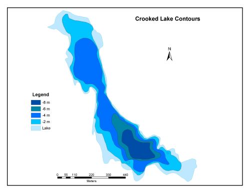
Bathymetric Map
Crooked Lake is 26.3 hectares in size with a shoreline perimeter of 3.9 kilometers. The maximum depth of Crooked Lake is 8 meters.