Maps of Brodill Lake
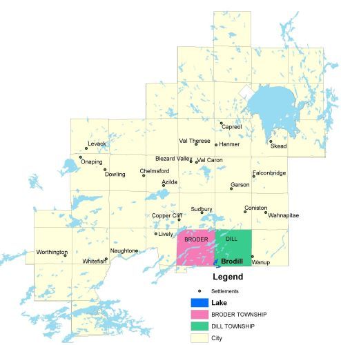
Township Map
Brodill lake is located in Broder and Dill townships.
UTM Coordinates:
Easting 503939, Northing 5135053
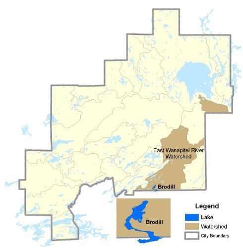
Watershed Map
Brodill Lake is located in the East Wanapitei River Watershed.
For more information on the watershed, and on the data obtained for this lake, please click on the following link: Watershed Map
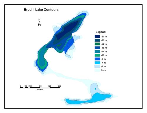
Bathymetric Map
Brodill Lake is 112.1 hectares in size with a shoreline perimeter of 12.9 kilometers. The maximun depth of the lake is 30 meters.