Maps of Onwatin Lake
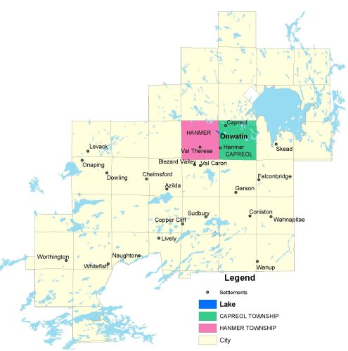
Township Map
Located near the town of Hanmer, north of Sudbury, in Hanmer and Capreol townships.
UTM Coordinates:
Easting 503976, Northing 5170473
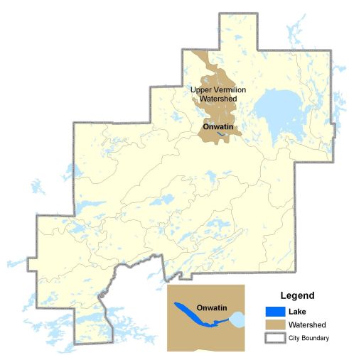
Watershed Map
Onwatin is located in the Upper Vermilion Watershed. For more information on the watershed, and on the data obtained for this lake, please click on the following link: Watershed Map
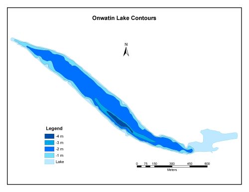
Bathymetric Map
Onwatin Lake is 34.2 hectares in size with a shoreline perimeter of 5.4 kilometers. The maximum depth of Onwatin Lake is 4 meters. The lake is in fact a widening of the Vermilion River.