Maps of Middle Lake
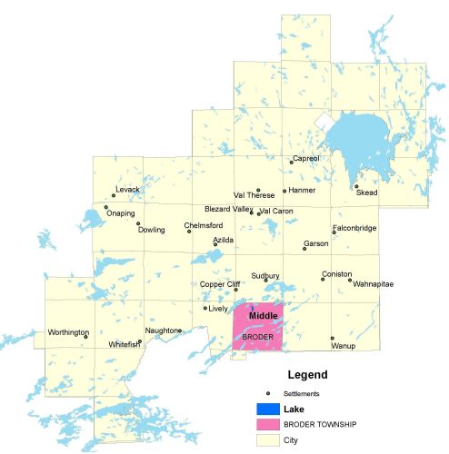
Township Map
Middle lake is located in Broder township.
UTM Coordinates:
Easting 498050, Northing 5142739
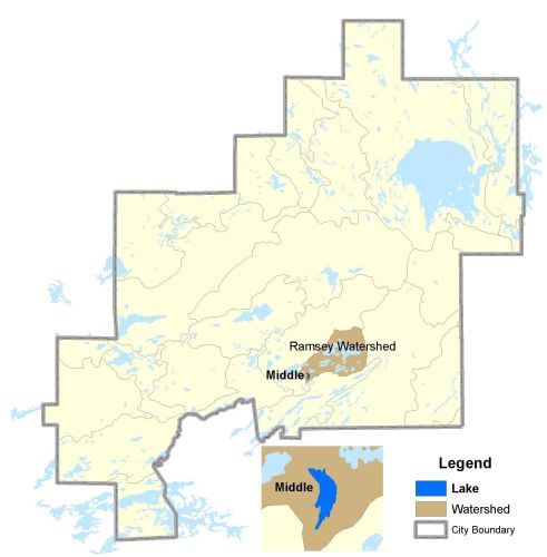
Watershed Map
Middle Lake is located in the Ramsey Watershed. The watershed area is 250 ha. Middle Lake is a headwater lake that has been used as an environmental ecological monitoring lake specifically for air quality (smelter emissions reductions) in the area. For more information contact the Co-operative Freshwater Ecology Unit.
For more information on the watershed, and on the data obtained for this lake, please click on the following link: Watershed Map
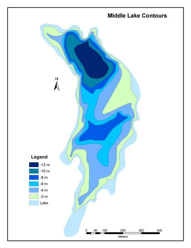
Bathymetric Map
Middle Lake is 28.1 hectares in size with a shoreline perimeter of 3.4 kilometers. The maximum depth of Middle Lake is 12 metres.