Maps of Richard Lake
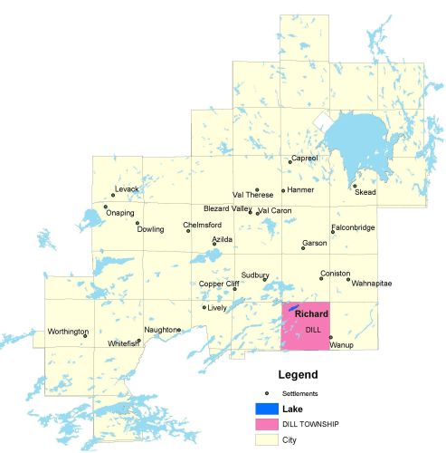
Township Map
Richard Lake is located in Dill township.
UTM Coordinates:
Easting 506648, Northing 5142850
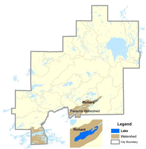
Watershed Map
Richard Lake is located in the Panache Watershed. For more information on the watershed, and on the data obtained for this lake, please click on the following link: Watershed Map
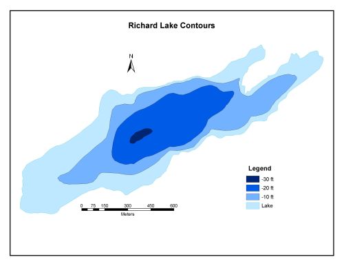
Bathymetric Map
Richard Lake is 83.6 hectares in size with a shoreline perimeter of 6.7 kilometers. The maximum depth of the lake is 9 meters (30 feet).