Maps of Little Lake Panache
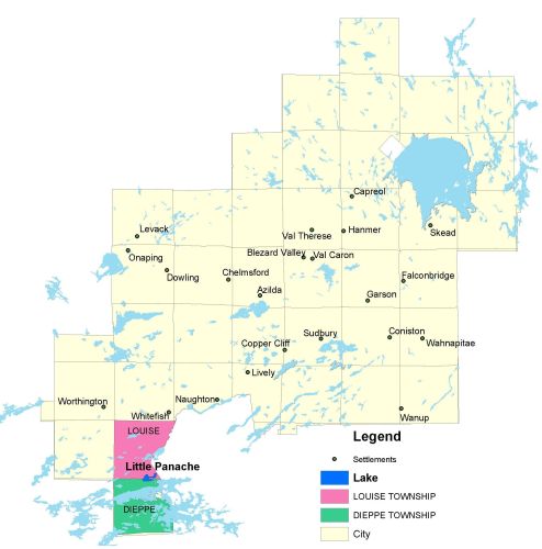
Township Map
Little Panache Lake is located in Louise and Dieppe townships.
UTM Coordinates:
Easting 471914 Northing 5125348
Watershed Map
Little Panache is located in the Panache Watershed. 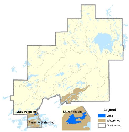
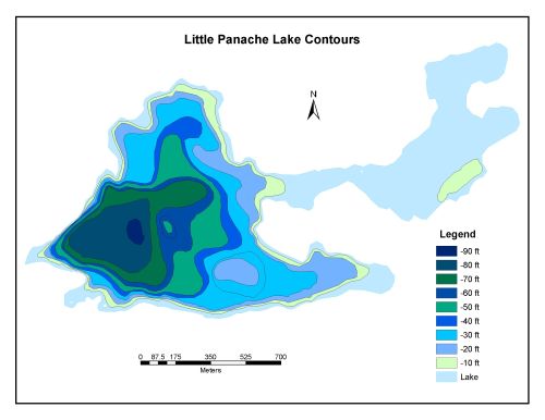
Bathymetric Map
Little Panache Lake is 102.9 hectares in size with a shoreline perimeter of 6.9 kilometers. The section to the west of the highway an estimated mean depth of 16 metres and a maximum depth of 22 metres. Corresponding values for the eastern part of the lake are 5 metres and 8 metres. Although a difference in elevation of approximatively 21 metres exists between Little Lake Panache and nearby Lake Panache, outflow is negligible, especially during the summer months.
The maximum depth of Little Panache Lake is 27 meters (90 feet).