Maps of Chief Lake
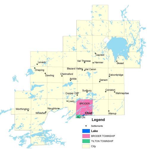
Township Map
UTM Coordinates:
Easting 499073, Northing 5134373
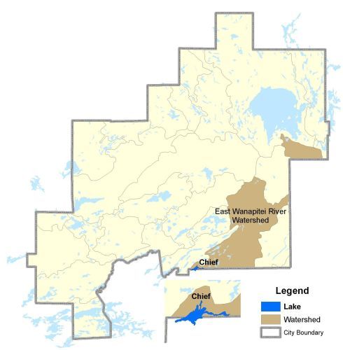
Watershed Map
For more information on the watershed, and on the data obtained for this lake, please click on the following link: Watershed Map
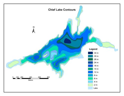
Bathymetric Map
Chief Lake is 105.2 hectares in size with a shoreline perimeter of 12.6 kilometer. The maximum depth of Chief Lake is 34 meters.